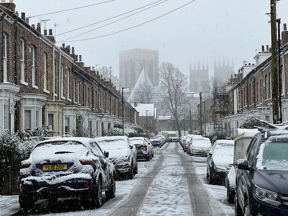
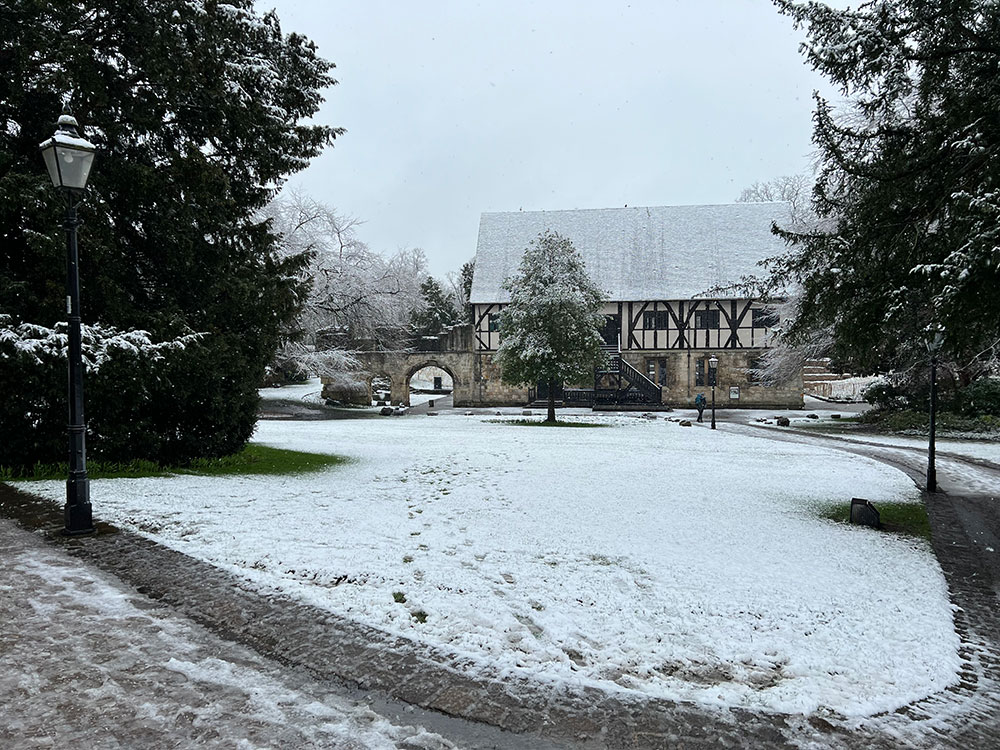
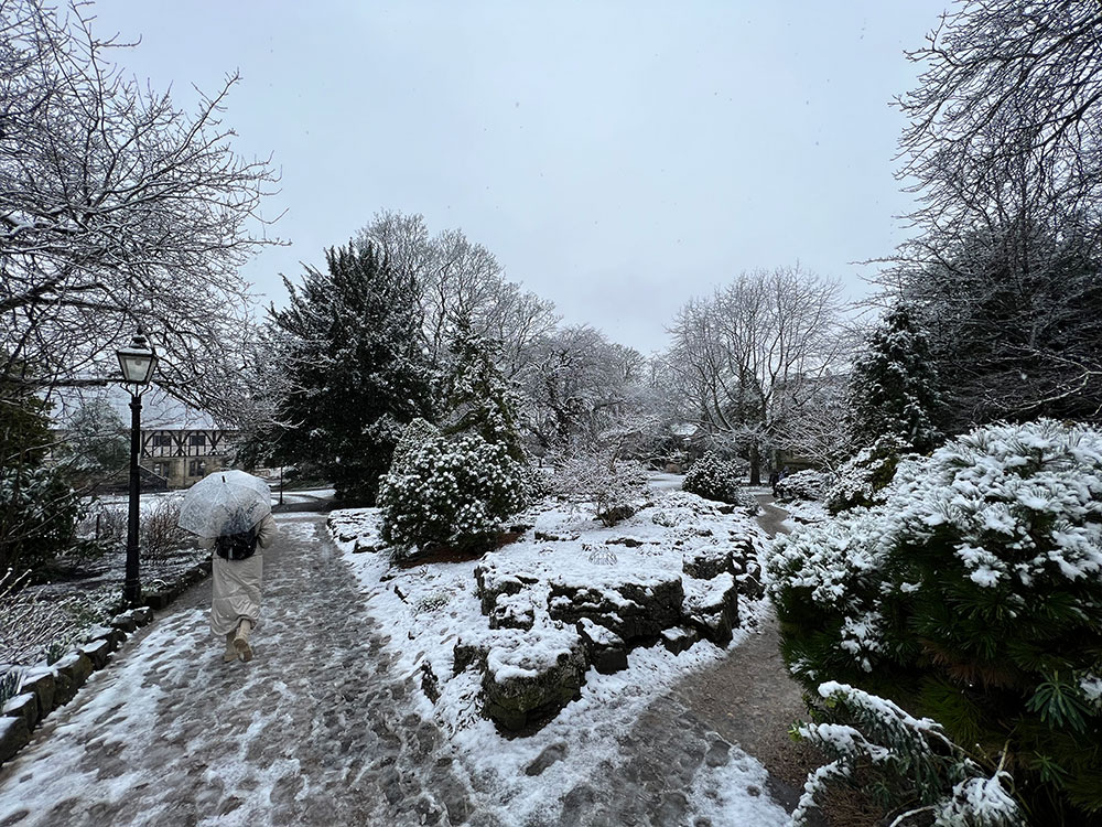
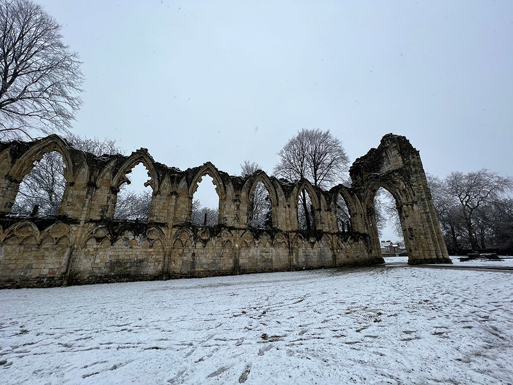
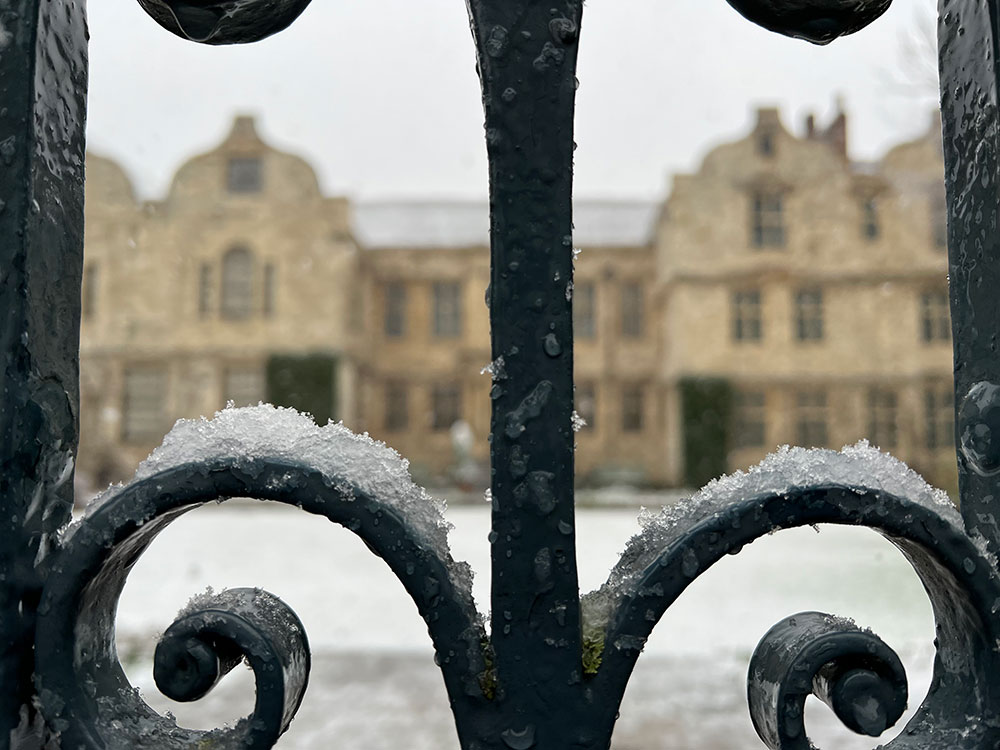
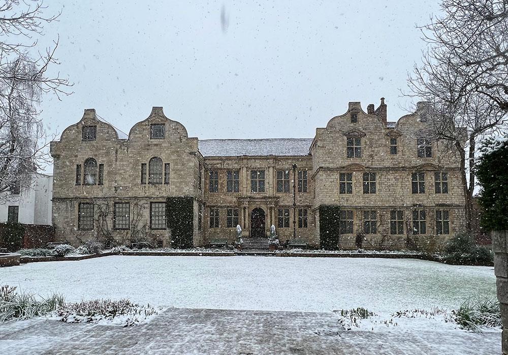
A prolonged, heavy snow shower today gave York a wintry makeover.
As forecast this morning, the snow arrived by lunchtime and stayed falling for a couple of hours.
Despite the earlier rain, the snow did start to settle before the sun came out towards the end of the afternoon.

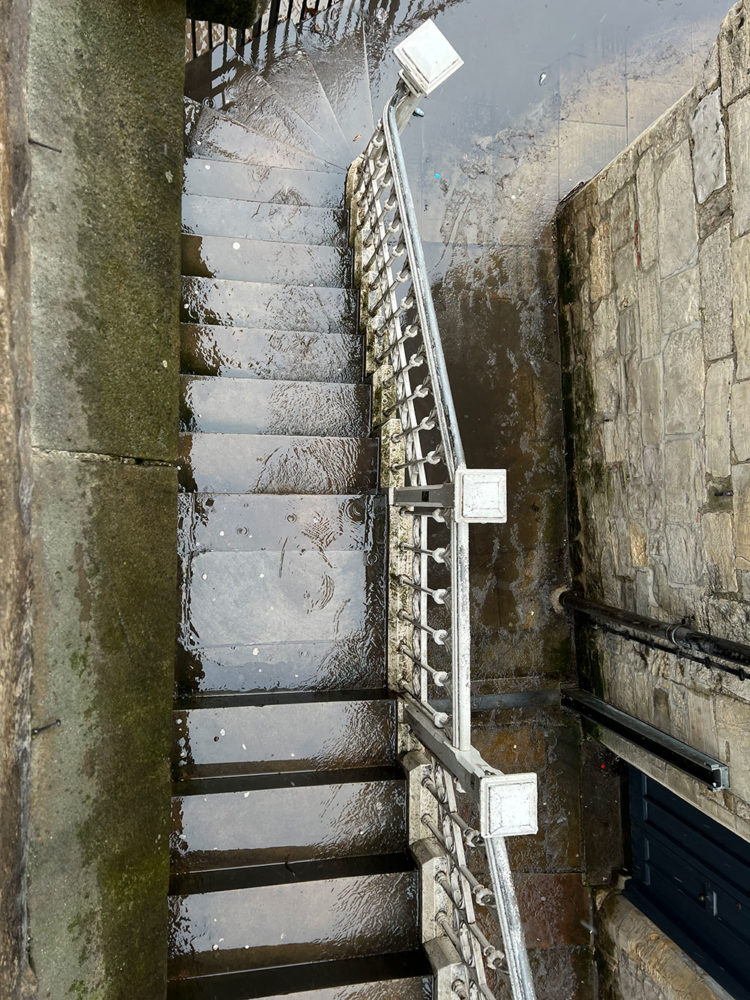
The rain and snow combined to cause standing water on Lendal Bridge, which also flowed down the steps to the riverside.
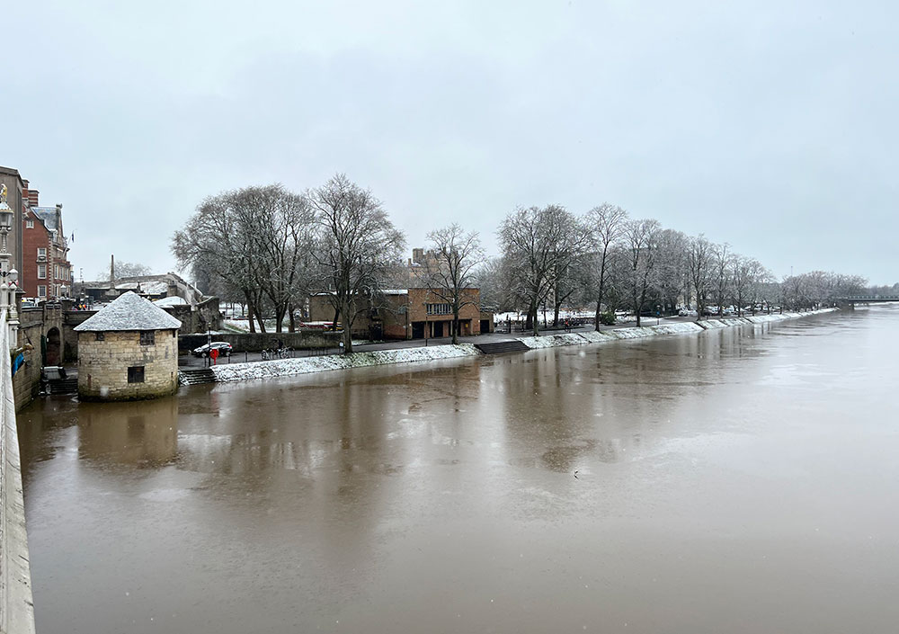
It will also help to push river levels higher.
There are two flood alerts in place for York, and the Foss Barrier is in operation.
The alert for the River Ouse, updated at 4pm on Saturday, says it has reached 2.7m. “Flooding is expected to affect locations near the River Ouse, with low lying land most affected, particularly around Riverside footpaths and low-lying land in York and south as far as Naburn Lock, including Kings Staith, Queens Staith, and South Esplanade.”
With more rain forecast tomorrow, “flood warnings are likely be issued”.
The river level at the Viking Recorder in the city centre is forecast to reach 3.6m by 3.45am on Monday. Property is likely to be flooded at this level.
A similar flood alert has been issued for the tidal River Ouse from Naburn Lock to Selby.
You can keep up-to-date with alerts and warnings here.
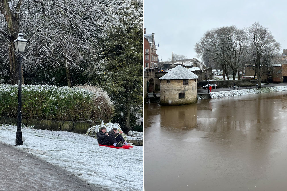
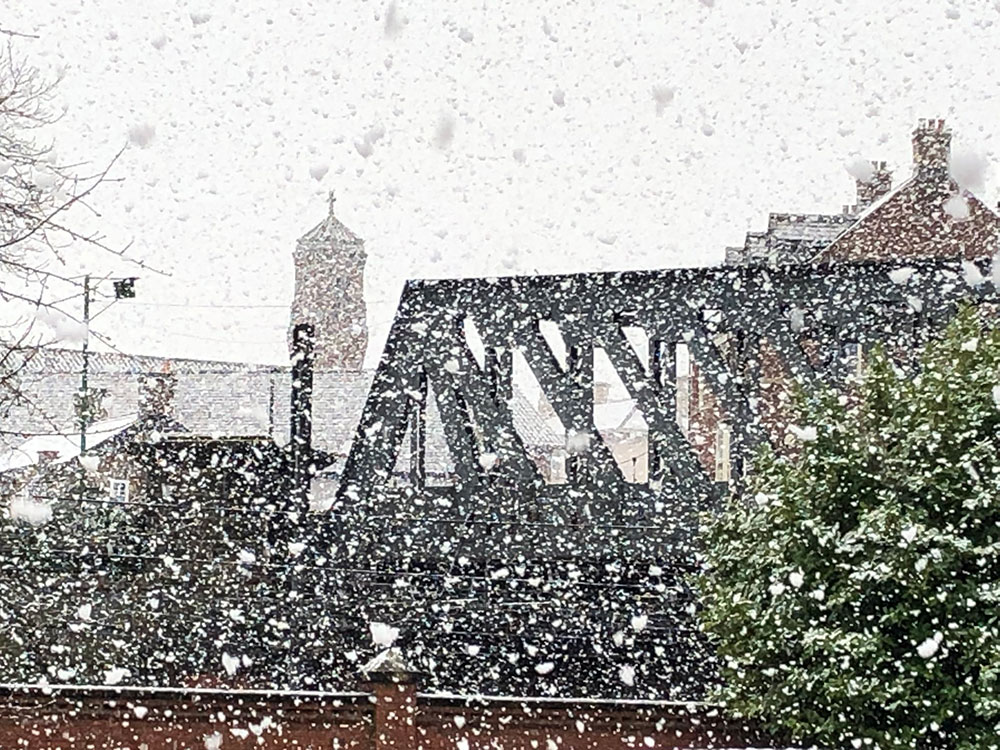
Weather pictures


Photograph: Andy Falconer on Twitter
[adrotate group=”3″]

Photograph: David Dunning 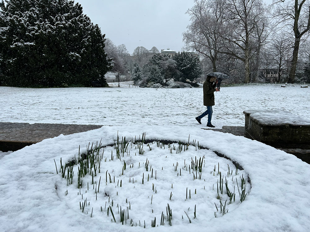
[tptn_list limit=3 daily=1 hour_range=1]