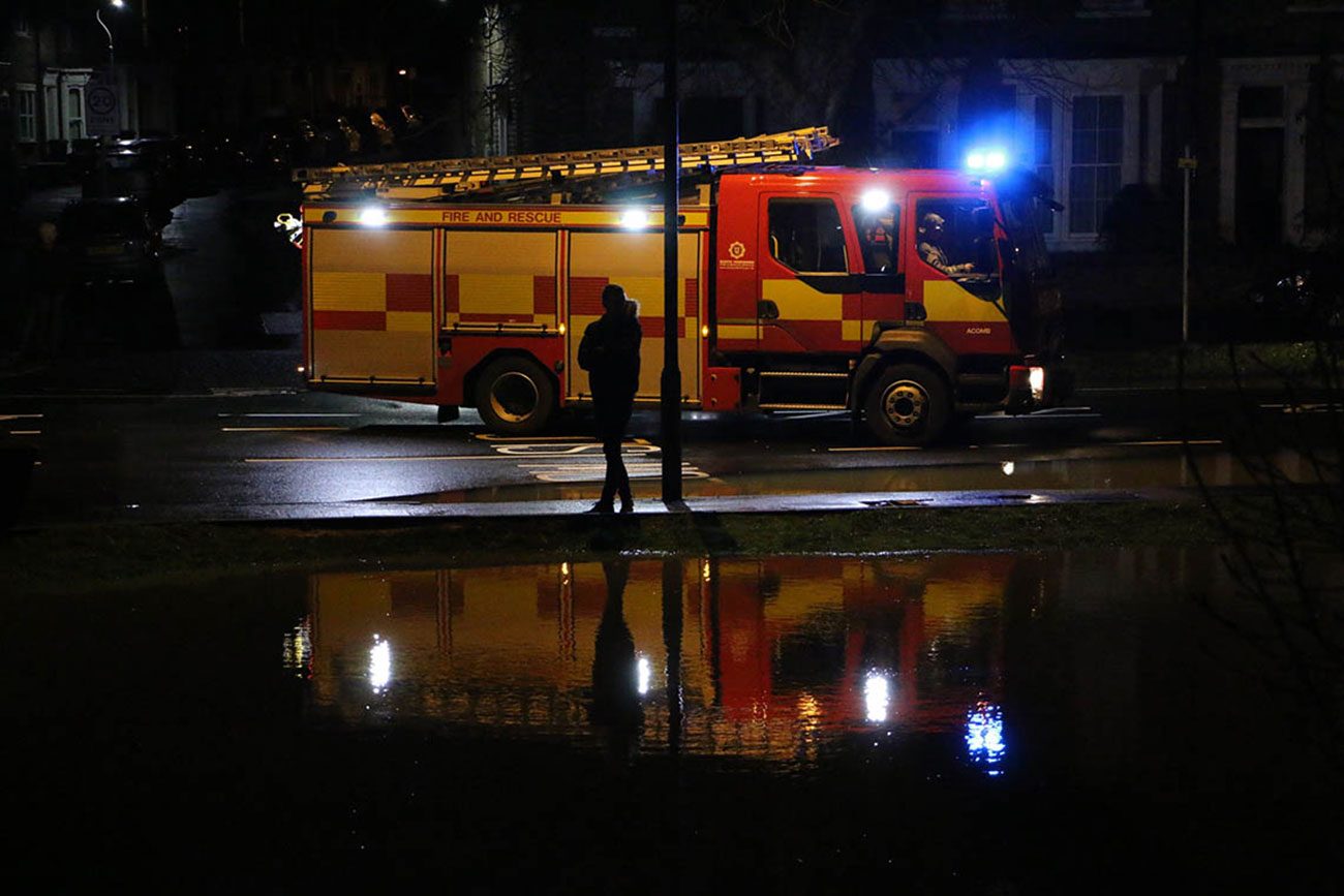
York is on high flood alert with roads closed, homes at risk and the river still rising.
The Foss Barrier, one of York’s main flood protection structures, has been lifted after water entered the building leading to a danger of electrical failure. That means the Foss is being emptied into the Ouse.
Owners of potentially vulnerable properties near the Foss have been advised by the Environment Agency to move valuables upstairs.
A rest centre at Archbishop Holgate School has been set up for people affected by flooding in Tang Hall, Huntington and Osbaldwick. Vulnerable residents who need to get there should call North Yorkshire Police on 101.
The Scarborough and Ryedale Mountain Rescue team has been deployed to help out in York.
1of2 severe flood warning for #riverfoss.Waters entered Foss Barrier building which could cause electrical failure. We've lifted the barrier
— Env Agency Yorks&NE (@EnvAgencyYNE) December 26, 2015
2of2 so if electric goes off the barrier won’t be in the down position.Risk to city centre of Huntington,Tang hall,Osbaldwick & Foss Islands
— Env Agency Yorks&NE (@EnvAgencyYNE) December 26, 2015
York road closures
Huntington Road – from the Monkgate roundabout and Hayley’s Terrace/Fossway Junction
Monks Cross Link Road
Skeldergate
Shipton Road (lower)
Hempland Lane
Walmgate and Navigation Road
Foss Island Road
Water End
Huntington Road
Rufforth Main Street
Rufforth Main Street
Water Lane
Foss Bank (Near Sainsbury’s)
An emergency meeting of the York Flood Group took place on Boxing Day afternoon as flooding affected several parts of the city.

Six severe flood warnings for #York in place. It is imperative you monitor @FloodAlerts @EnvAgencyYNE @EnvAgency. #beprepared #alert
— NorthYorkshirePolice (@NYorksPolice) December 26, 2015
The group – comprising representatives from the police, fire service, City of York Council, Environment Agency and Yorkshire Water – only meets when the River Ouse levels reach, or are expected to reach, 4.2 meters above normal summer level (asl).
On Saturday (December 26) river levels are currently at 3.8m asl and are predicated to peak at about five metres (16.4ft) above normal summer level.
Rowntree Park and St George’s Field Car Park are closed.
The police say up to 3,500 homes could be at risk from the River Foss flooding.

Bus services on the roads may be affected on Sunday and people are advised to contact the bus operator in the first instance.
All Park&Ride routes will be running as normal tomorrow. Diversions may be in place which may result in slightly longer journey times.
Home evacuated, sandbags out


Sandbags protect one property and parked cars caught in the floods
Residents living in City of York Council’s Windsor House residential home are being relocated within other council owned residential homes. This is due to minor flooding in the basement of the buidling. Families are being directly informed.
The council has erected sandbag defences at Peckitt Street, Tower Gardens, Tower Place and Clementhorpe. The access bridge to City Mills Residential Home has also been erected.
Front line teams from all organisations are working round the clock to protect residents, tourists and to keep York open for business.

Superintendent Dave Hannan of North Yorkshire Police, said:
It is impossible to judge the depth of flood water and you could put yourself and passengers at risk if you attempt it. Please also remember to adjust your driving to the current road conditions and arrive safely at your destination.
Over the coming hours and days, we will continue to monitor the situation in residential areas that are at risk, and working with local authority partners, will take the necessary action to ensure the safety of local residents.
The Environment Agency is monitoring the situation. Check the latest York flood alerts on the agency website.

Flood facts
People are advised to plan their journeys ahead by visiting the EA website and avoid flood water
York has 2.5 miles of flood defences, which were constructed between 1985 and 1995
The defences are designed to withstand river levels of up to 5.45m above normal summer levels and have never been breached
The Foss Barrier was constructed in 1987 after serious flooding in 1982 (5.1m above normal summer levels)
About £8m was spent on flood defences in York following the 1982 floods
The flood defences surrounding the city protect up to 5K residential properties and numerous business properties
More photos of the floods


Views towards the Foss


Flooding in Tweets
@ellyfyork latest from shipton road pic.twitter.com/n8iJUbg3m3
— Pete Dowling (@peteinyork) December 26, 2015
Folks bring evacuated too deep for boots -End park grove #York Huntingdon rd pic.twitter.com/K0KezcR5Iq
— Gwen Swinburn (@GSwinburn) December 26, 2015
@swift_jt @PC1810NYP @NYPControlRoom I took these 2 on Foss Bank earlier. Some people still drove through. pic.twitter.com/3l1PcP2m8b
— Elizabeth Smith (@LizS1234) December 26, 2015
@NYPControlRoom Avoid Huntington Rd if heading to town. Sign needed at junc of New Lane/Hunt Rd. Cars turning round. pic.twitter.com/Bg2g0k2GV8
— Mike Towers (@Mike__Towers) December 26, 2015
River Ouse York water level: 4.05m at 19:00. Big chance of flooding! #Flood #York #Ouse #Rising
— River Ouse (York) (@RiverOuseYork) December 26, 2015
@NYPControlRoom Huntington Rd between Yearsley Grove and Highthorn Rd not passable ~ need "Road Closed" sign pic.twitter.com/OJfpl1a29H
— Water Towers (@watertowers) December 26, 2015
I spoke to the police and they say that they have run out of signs so drivers must be careful. https://t.co/vfDBQlLexx
— Rachael Maskell MP (@RachaelMaskell) December 26, 2015
An incredibly swollen #Ouse flowing very fast under the arches of Lendal Bridge in #York pic.twitter.com/pBzPoPRN42
— BBC Radio York (@BBCYork) December 26, 2015
The #Ouse in #York so high the decks of river boats almost level with Lendal Bridge @EnvAgencyYNE pic.twitter.com/AdOsg9csny
— BBC Radio York (@BBCYork) December 26, 2015