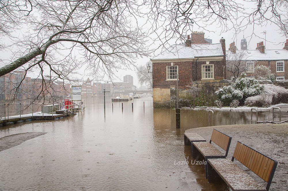
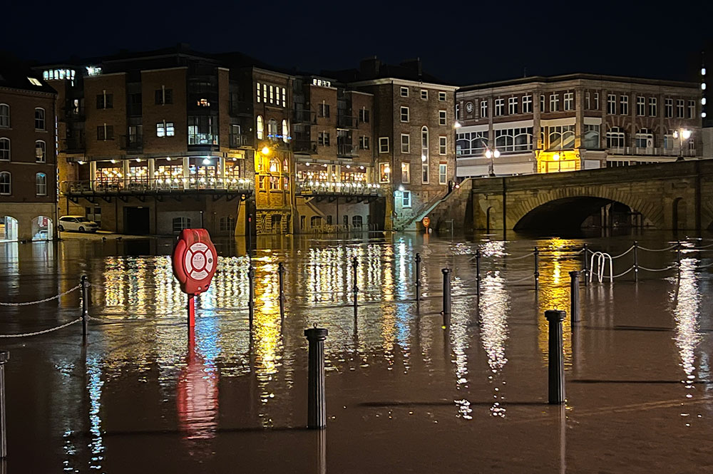
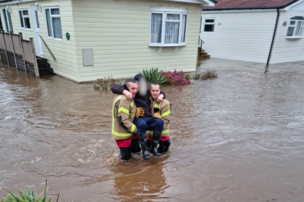
There are now three flood warnings issued for York at the end of another day of heavy rain.
Following the downpours and snow of the last week, the River Ouse in the city centre had reached 3.28m at 10pm this evening (Sunday).
At one point the forecasts based on river levels from the Viking Recorder said waters could reach 5.43m by 4pm on Tuesday (22 February).
Listen to the full interview
That would surpass the previous highest level recorded in the centre of York – of 5.40m on 4 November 2000.
However, that forecast has now been revised and the new peak is predicted to be 4.31m at 11.45pm tomorrow.
Rowntree Park is closed tomorrow (Monday) due to the flood warning and City of York Council tweeted: “We’re standing ready.”
Speaking to David Dunning on YorkMix Radio, Joe Noake from the Environment Agency said that the predicted level was based on other rivers feeding into the Ouse – including the Swale and the Nidd.
Those figures could be volatile – and more rain is forecast for the Dales.
“The Viking Recorder gives us an idea of what the actual level is now. But we also do a lot of numerical modelling to tell us what it might be in the future,” Mr Noake said.
“And that’s why we use those other rivers that feed into that modelling. Generally, what it tends to do is start high, and then come down. I expected it to follow that trend.”
Since the 2015 floods, the defences in the city have been bolstered by millions of pounds worth of investment.
The agency had “done a number of schemes along the river, which might make a real difference to how how well defended the city is,” Mr Noake said.
Both the King’s and Queen’s Staith and the riverside paths were likely to be flooded for a week or so, he said, and the Foss Barrier would be in operation for the same sort of time.
“But in terms of serious issues throughout the city, the impacts are less than they used to be definitely.”
As half term continues, North Yorkshire Police tweeted: “Anyone visiting York. Please be aware of the flood at the riverside. But remember that most of the city is well above water level and will still be open.”
Three flood warnings

River Ouse at York – riverside properties
Areas most at risk include properties on King’s Staith in York and riverside areas through York from Lendal Bridge to Millennium Bridge. Property flooding is expected from late afternoon on Sunday. Levels are expected to continue rising during Monday and peaking on Tuesday.
River Ouse at Naburn Lock
Flooding is expected to affect locations near the River Ouse, with low lying land expected to be most affected, particularly around Naburn Lock Buildings and Lock Cottages.
River Ouse at York – St George’s Field and Queen’s Staith
Flooding of properties, gardens, roads and paths is possible. Further rain is forecast in the upper catchments which will keep levels high through the next few days and a further significant rise is expected.
[adrotate group=”3″]
Six flood alerts
There are a further six flood alerts near York. These are:
Upper River Ouse
Flooding is expected to affect locations near the River Ouse, with low lying land most affected, particularly around Riverside footpaths and low-lying land in York and south as far as Naburn Lock, including Kings Staith, Queens Staith, and South Esplanade.
Tidal River Ouse from Naburn Lock to Selby
The flood alert for the Tidal River Ouse from Naburn Lock to Selby remains in force as river levels remain high due to recent rainfall. The current river level at Naburn is 2.65m.
[tptn_list limit=3 daily=1 hour_range=1]
Lower River Wharfe
Flooding is forecast to affect locations near the River Wharfe, with low lying land expected to be most affected, particularly around The Lower River Wharfe and tributaries from Ilkley to upstream of Ulleskelf.
Lower River Nidd catchment
Flooding is forecast to affect locations near the River Nidd, with low lying land expected to be most affected, particularly around Land around the Lower River Nidd and its tributaries including Sand Beck, Sike Beck, Pool Beck and Great Gutter.
Lower River Derwent
Flooding is forecast to affect locations near the River Derwent, with low lying land expected to be most affected, particularly around local roads and low-lying land around Stamford Bridge, Pocklington, Wressle, Wilberfoss and Elvington.
Tidal River Wharfe
Flooding of low-lying land and roads is possible from Sunday evening and overnight. Levels are expected to continue to rise in Tadcaster overnight, and levels are starting to rise slowly around Cawood. Further rainfall is forecast to continue over Sunday night and throughout Monday.

