Remember rain?
Missing in action for so long, it could make a major comeback very soon.
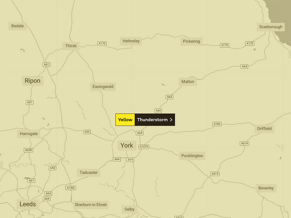
The Met Office has issued a yellow thunderstorm warning – and today (Saturday) extended its duration and geographically reach across York and all of North Yorkshire.
It now covers all of on Monday and Tuesday (15 and 16 August).
“While some places stay dry, areas of heavy rain and thunderstorms will continue during Monday, bringing possible disruption,” the Met Office says
If a thunderstorm does hit, this is what the Met Office says to expect:
- There is a small chance that homes and businesses could be flooded quickly, with damage to some buildings from floodwater, lightning strikes, hail or strong winds
- Where flooding or lightning strikes occur, there is a chance of delays and some cancellations to train and bus services
- Spray and sudden flooding could lead to difficult driving conditions and some road closures
- There is a slight chance that power cuts could occur and other services to some homes and businesses could be lost.
The latest forecast suggests a dry and hot weekend, with temperatures reaching 31°C in York on Sunday.
Temperatures should then peak at 27°C on Monday, with a top temperature of 21°C for the rest of next week, and more showers predicted, before it brightens again on Friday.
[tptn_list limit=3 daily=1 hour_range=1]