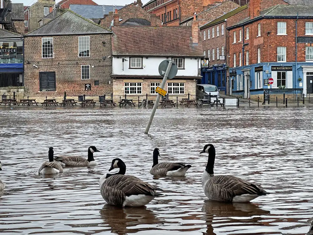
The first York flood warnings of the autumn have been issued by the Environment Agency tonight (Thursday).
It has issued three warnings for York and one for Boroughbridge, with another ten alerts in the region.
River levels are rising after several days of heavy rain.
Here are the four flood warnings – meaning ‘flooding is expected’:
- River Ouse at York – riverside properties – Flooding is expected at properties on King’s Staith in York and riverside areas through York from Lendal Bridge to Millennium Bridge. River levels are forecast to continue to rise overnight into the early morning Friday
- River Ouse at York – St George’s Field and Queen’s Staith – Areas most at risk include properties along Queen’s Staith, on South Esplanade, Friars Terrace and Tower Place. St George’s Field carpark and Rowntree Park.
- River Ouse at Naburn Lock – Flooding is forecast to affect locations near the River Ouse, with low-lying land expected to be most affected, particularly around Naburn Lock Buildings and Lock Cottages. Flooding is expected in these riverside areas from 7am on Friday.
- River Ure at Boroughbridge Camping and Caravanning Site – Take care and avoid walking, cycling or driving through flood water.
The Ouse in York is now predicted to peak at 2.92m at 3pm tomorrow (Friday, 27 September).
The top of the normal range is 1.9m.
Thanks to York’s flood defences, while the riverside will be impacted, the rest of the city will be unaffected.
These are the ten flood alerts – meaning ‘flooding is possible’:
- Lower River Ure
- North Sea coast from Staithes to Whitby including tidal River Esk
- River Esk catchment
- River Leven
- River Rye catchment
- River Seven catchment
- River Wiske and other tributaries of the River Swale
- Tidal River Ouse from Naburn Lock to Selby
- Upper River Derwent
- Upper River Ouse.
There is only a little rain in the forecast for Friday, and none for Saturday.
