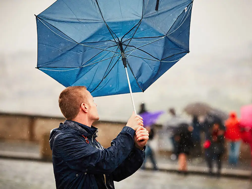
More stormy weather is on the way.
Storm Jocelyn will bring windy weather on Tuesday night and into Wednesday for much of the northern half of the country, including York and North Yorkshire.
A yellow weather warning for wind runs from midday today (Tuesday, 23 January) to 3pm tomorrow.
Gusts of 80mph could be experienced in exposed areas. Some heavy rain is forecast, but York and North Yorkshire are only expected to experience light rain today.
Today, three flood warnings remain in York:
- River Ouse at Naburn Lock
- River Ouse at York – riverside properties
- River Ouse at York – St George’s Field and Queen’s Staith.
However, the river levels are falling. The Ouse as measured at the Viking recorder peaked at 3.65m at 7.30am today. It is forecast to fall below the normal range (1.9m) later today, before rising again to 3.49m by 6.45pm tomorrow.
Several flood warnings remain in place in North Yorkshire, including:
- River Swale at Howe village and by Skipton Bridge
- River Ure at Boroughbridge Camping and Caravanning Site
- River Wiske at Kirby Wiske.
Met Office chief meteorologist Steve Willington said Storm Jocelyn, could cause further disruption hot on the heels of Storm Isha.
He said: “Although this system will be a step down relative to Storm Isha, with the damage and clean up still underway, we could potentially see more impacts from Storm Jocelyn.”
Storm Jocelyn was named by Irish weather forecasters Met Eireann, after Dame Jocelyn Bell-Burnell, a leading astrophysicist.
Although born and brought up in Northern Ireland, she went to school in York.
Her parents sent her to The Mount School, where she completed her secondary education in 1961. “There she was favourably impressed by her physics teacher, Mr. Tillott,” Wikipedia says.
Dame Jocelyn said: “He was a really good teacher and showed me, actually, how easy physics was.”
