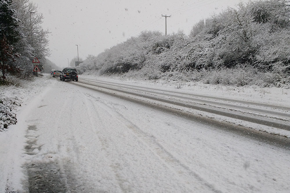
The snow could return this week, forecasters say.
An updated weather warning from the Met Office today says there’s a chance of heavy snow from 8am tomorrow (Wednesday) to 9pm on Thursday across Scotland and the North of England.
It covers areas including Easingwold, Malton, Thirsk, Pickering and Harrogate.

But it doesn’t extend to York or Scarborough and Whitby on the coast.
“Heavy snow may affect parts of the warning area, with possible significant travel disruption,” the warning says.
Met Office meteorologist Alex Burkill said that freezing rain could turn to snow over parts of Scotland and north-east England from Wednesday night into Thursday morning.
“Through Thursday itself there’ll be further rain across the bulk of the UK and this could bring some fairly significant snow a bit further southwards through Thursday,” he said.
“By Thursday afternoon we could be looking at the risk of snow across many parts of northern England and into the Midlands and perhaps a little bit further east as well.”
“For northern England we could be looking at around 15cm, perhaps 20cm by the end of Thursday over the highest routes,” he said.
Here’s the forecast for York.