
River levels are high in York today (Friday, 18 November) following the recent heavy rainfall.
Three flood warnings are in place, as well as five flood alerts.
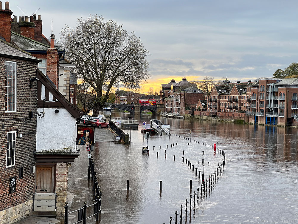
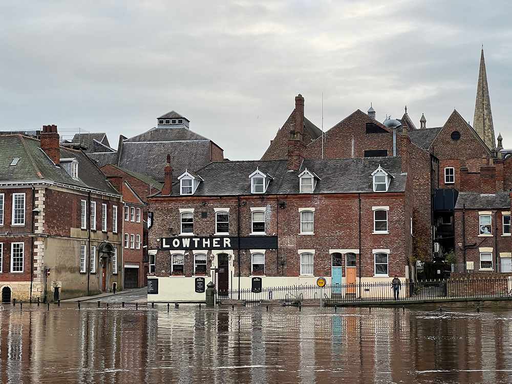
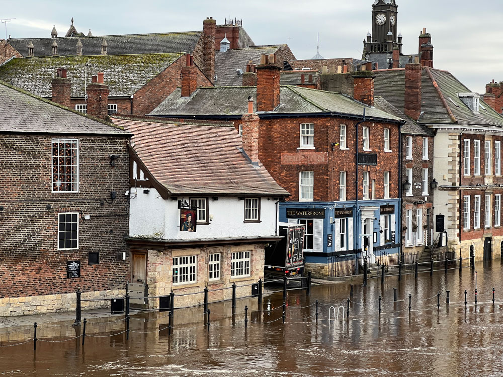
The River Ouse has broken its banks in the usual places. Both King’s Staith and Queen’s Staith are underwater.

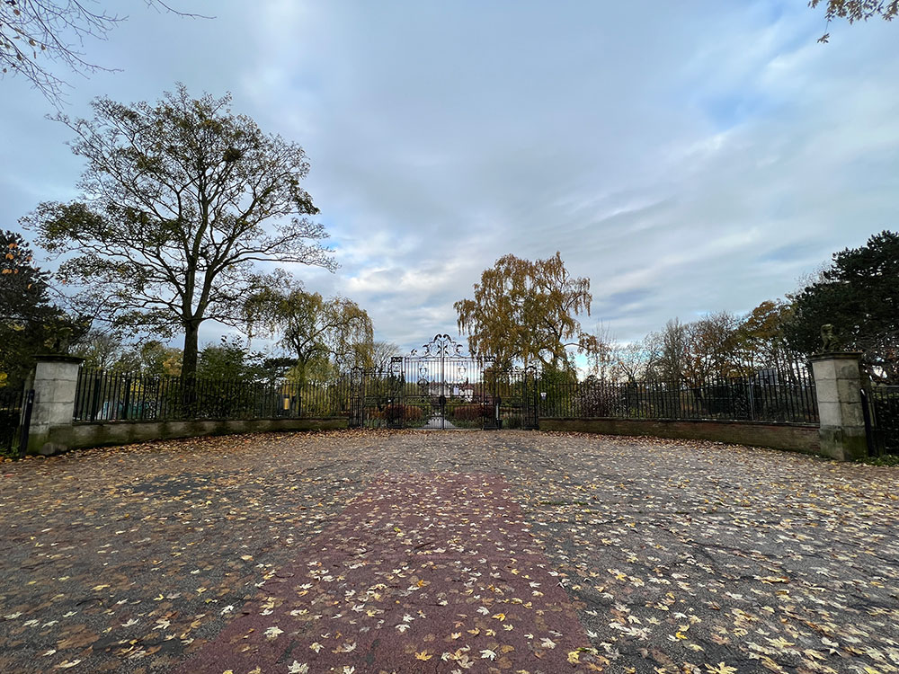
Skeldergate, Terry Avenue and the riverside path next to Rowntree Park are all clear of floodwater.
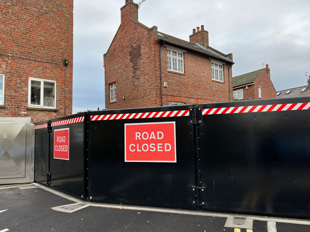
Flood gates on Skeldergate have closed as a precaution.
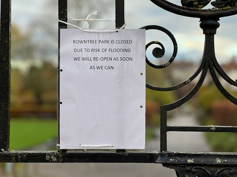
However the park is shut today. A sign on the gates says ‘Rowntree Park is closed due to risk of flooding. We will re-open as soon as we can.”
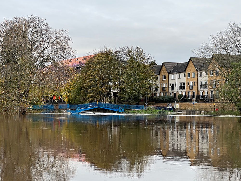
The water has encroached on some of the paths on the other side of the Ouse. The Blue Bridge is still accessible.


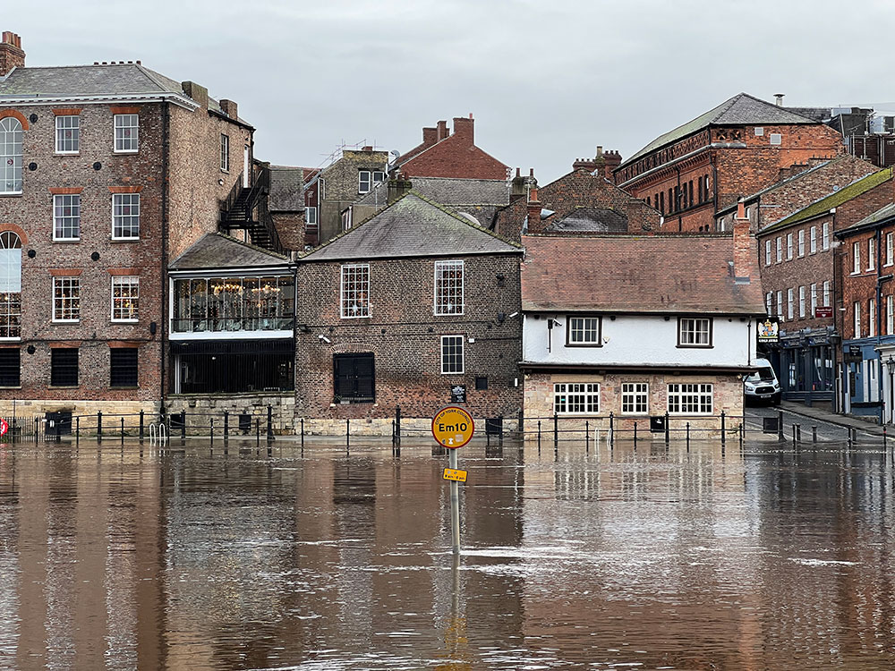


By 10.45am today (Friday, 18 November) the level of the River Ouse in York city centre had risen to 3.03m, when riverside property flooding is possible.
It is forecast to peak at 3.41m by 5.45pm, and then start to recede.
Flood warnings
- River Ouse at Naburn Lock
- River Ouse at York – riverside properties
- River Ouse at York – St George’s Field and Queen’s Staith
Flood alerts
- Lower River Derwent
- Lower River Nidd catchment
- Tidal River Ouse from Naburn Lock to Selby
- Upper River Derwent
- Upper River Ouse
[tptn_list limit=3 daily=1 hour_range=1]