York’s river levels are rising again after all the rain during Storm Debi.
The Environment Agency issued a flood warning for the River Ouse at Naburn Lock this morning (Tuesday, 14 November).
It says: “River levels are rising on the River Ouse, in response to recent heavy rainfall in the upper catchments.
“Levels will continue to rise throughout today and are expected to peak in York at approximately 3.5m to 4m. The current level at Naburn is 2.34m.
“Areas most at risk include the tidal foreshore and agricultural land adjacent to the river in the Cawood, Kelfield, Wistow and Selby areas.”
There are also flood alerts for
The Environment Agency adds: “We are monitoring rainfall and river levels and are checking rivers for blockages in the area.
“We are liaising with emergency services and local authorities.”
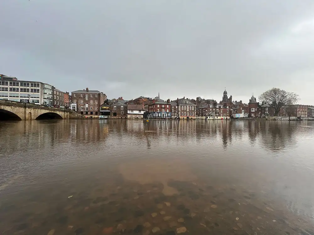
River levels on the Ouse in York reached 3.01m at the Viking Recorder at 11.45am today (Tuesday, 14 November).
The water is forecast to peak at 3.79m at 12pm tomorrow (Wednesday). The top of the normal range is 1.9m.
There are further flood warnings in the area:
- Bielby Beck at Bielby
- Bishop Monkton Beck at Bishop Monkton
- River Derwent at Buttercrambe Mill
- River Ure at Boroughbridge Camping and Caravanning Site
There are also these flood alerts:
- Lower River Derwent
- Lower River Nidd catchment
- Lower River Swale
- Lower River Ure
- Lower River Wharfe
- Upper River Swale
See the full list and updates here.