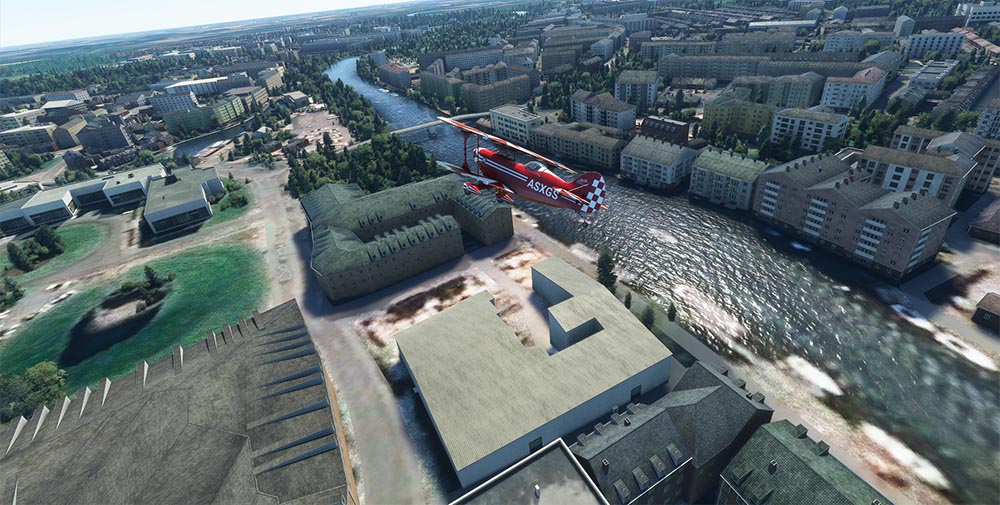
Microsoft says it has recreated the whole world for the latest version of its near 40-year-old flight simulator.
Using geographic data borrowed from its own Bing Maps, the 2020 game allows you to fly virtually anywhere – including York.
Local pixel-pilot Richard Every Clayton took to the skies to see how our simulated city stacks up.
And it’s fair to say, not every part of the city looks quite right from this cockpit…
The good

York Racecourse is easily spotted approaching York. The A64 is clearly visible to the west. So far so good…

York Railway Station, York Central and Clifton Ings are fairly accurate too.

A high pass over the centre shows the River Ouse and the three main bridges. And that modern carbuncle the Barbican Centre in the bottom left looks OK too.

Meanwhile Bootham and Clifton look perfectly reasonable – from this height.
The bad

Coney Street, Parliament Street and surrounding areas look rather… sketchy. And the Minster – to the right of the plane – appears somewhat flattened.

The Bonding Warehouse and Skeldergate Bridge have been the victims of unsympathetic modernisation in Microsoft’s version of York.
And the ugly

A low pass down the river and the Castle Museum looks more like a car showroom. In fact most of the riverside buildings look – well, not very York.

And it looks like someone has dropped a very large weight on to Clifford’s Tower, squashing it flat.

With the Heworth Green gasometer in the centre, the Groves, bottom right, looks more like a Soviet-era gulag.

Maybe it’s time to fly away – past Elvington airfield runway (top left), and York Maze in the centre…
